

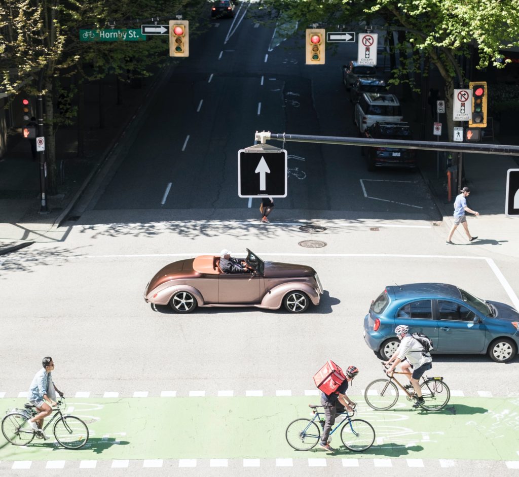
Neighbourhoods with high bikeability and walkability scores actually present higher crash risks to cyclists and pedestrians in Vancouver, according to new research from the University of British Columbia.
In a study outlined in Transportation Research Record, researchers used five years of crash data from provincial auto insurer ICBC to identify high crash-risk zones in the city of Vancouver. They compared these zones to their walk scores and bike scores –popular metrics used by researchers, transportation planners and real estate agents to indicate how conducive an area is to walking or biking–and discovered that although these zones were deemed to be highly walkable or bikeable, they were associated with higher risks of pedestrian and cyclist crashes, respectively.
“Among the public, there is an implicit assumption that ‘walkable’ and ‘bikeable’ means safe for walking and biking, but these indices do not actually include objective measures of safety,” said principal investigator Tarek Sayed, a UBC professor in the department of civil engineering. “When we objectively analyzed the data, we found that the zones with better bikeability and walkability scores had higher collision risks. We controlled for traffic volume and pedestrian and cyclist numbers, so this reflects actual collision risks to individuals.”
Collision hot spots

Areas of the city found to pose the highest collision risk to cyclists included zones in the downtown core and in Strathcona and Mount Pleasant, which are rated highly on the Bike Score index. Hot spots for pedestrian-involved collisions were found in zones within the downtown core, Fairview, Mount Pleasant, Strathcona and Grandview-Woodland, which have high walk scores. A big part of what makes neighbourhoods walkable and bikeable is a high density of attractive destinations, which increases walking and cycling trips, but also creates conflicts among road users. Other areas of the city may be safer for walking and cycling, but with few destinations to walk or cycle to.
Sayed acknowledges walk score and bike score indices do not claim to reflect safety.
“If these indices are clearly defined as a reflection of the ease of reaching a destination, they may be good. But we want to make clear to the public that they do not indicate safer areas for walking and biking,” he said. “We need to have two indices–one for bike attractiveness and another one for safety.”
New bike safety index
Sayed and colleagues are proposing a new composite Bike Safety Index that reflects both biking appeal and safety. Areas of Vancouver that rate highest in this index include zones within Point Grey, Stanley Park, False Creek, the River District, Kerrisdale, and along the Fraser River in Marpole.
The index, described in a paper published earlier this year, takes into account a number of elements, including the complexity of routes, density of traffic signals, kilometres travelled by vehicles, bike network coverage and average link length.
“The very low correlation between bike safety and bike attractiveness in our research indicates the need for this composite index,” said Sayed. “If you compare the maps using the Bike Safety Index ratings compared to bike attractiveness ratings, they look very different.”
Sayed said he hopes to see this index widely adopted by cities around the globe. “By providing the public with an objective measure of safety, my hope is that cyclists and pedestrians will be better equipped to navigate their cities safely, and with an accurate understanding of where they are at greater risk of injuries from car collisions,” said Sayed.